Ines Perry · 26 September 2026
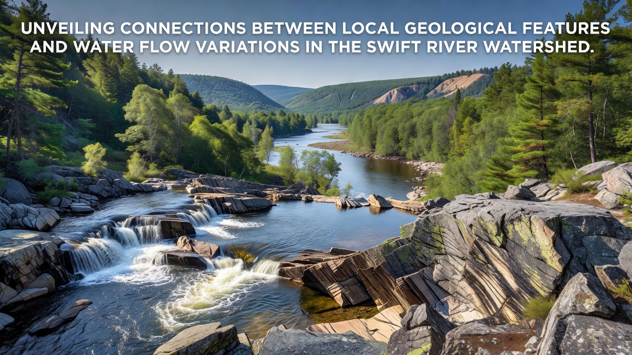
Unveiling Connections Between Local Geological Features and Water Flow Variations in the Swift River Watershed
Geological structures shape how water moves through the Swift River Watershed, where bedrock composition, fault lines, and sediment deposits create distinct patterns in stream discharge and groundwater recharge. Monitoring stations positioned along the main stem and tributaries record seasonal shifts that align closely with underlying rock types and fracture networks, and these alignments become clearer when researchers map subsurface features against surface flow data collected over multiple years.
Bedrock Types and Their Role in Permeability
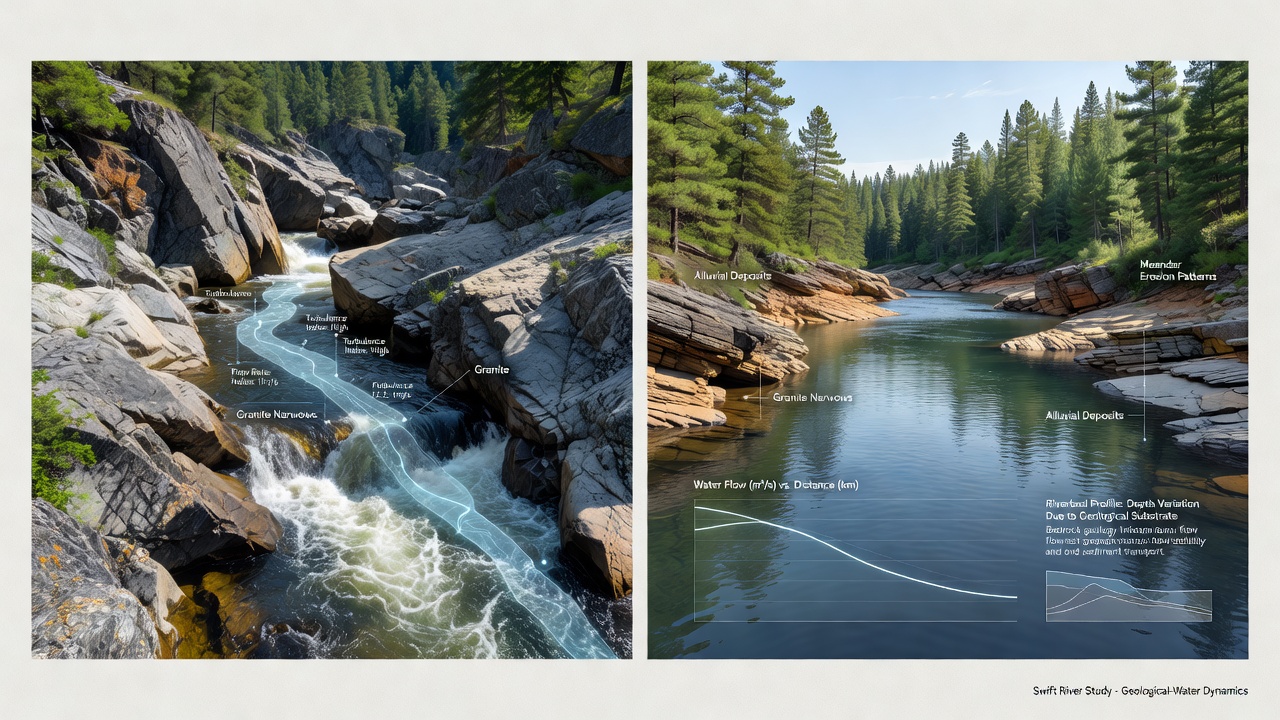
Granitic intrusions and metamorphic schists dominate the upper reaches of the watershed, while sedimentary layers of sandstone and shale appear more frequently downstream, and each formation influences infiltration rates differently because granite tends to limit vertical movement unless fractures are present whereas sandstone allows greater absorption during high-precipitation periods. Data collected by field teams show that areas underlain by fractured granite maintain steadier baseflow even in drier months, whereas shale-dominated zones exhibit sharper drops in stream levels once surface runoff ceases. Researchers mapping these zones note that the transition points between rock types often coincide with changes in channel gradient and sediment load, which in turn affect how quickly water travels through the system.
Faults, Fractures, and Flow Pathways
Regional fault systems cut across the watershed in roughly northeast-southwest orientations, and these structures create zones of enhanced permeability that channel groundwater toward certain tributaries. When piezometers are installed along known fault traces, readings indicate elevated hydraulic conductivity compared with adjacent unfractured areas, and dye-tracing experiments conducted in past decades confirm that water can travel several kilometers underground before resurfacing. Observers note that flow variations become more pronounced near major fault intersections, where multiple fracture sets intersect and create localized high-flow corridors that feed springs even during extended dry spells.
Seasonal Variations and Recent Monitoring Efforts
Precipitation patterns interact with these geological controls to produce measurable differences in discharge, and continuous records from automated gauges reveal that spring snowmelt peaks arrive earlier in sub-basins underlain by permeable sandstone than in those dominated by low-permeability schist. In September 2026, expanded sensor networks began transmitting real-time conductivity and temperature data that allow hydrologists to distinguish between surface runoff and deeper groundwater contributions more precisely than before. The new datasets show that fault-influenced reaches sustain higher minimum flows through late summer, while areas lacking such fractures rely more heavily on direct rainfall inputs.
Studies compiled by the U.S. Geological Survey demonstrate similar linkages in comparable New England watersheds, where bedrock permeability maps help predict which streams will maintain viable habitat during low-flow conditions. Those findings align with observations from the Swift River network, where sediment thickness also plays a supporting role by acting as a temporary storage layer that releases water more slowly than exposed bedrock surfaces.
Sediment Deposits and Surface-Groundwater Exchange
Alluvial deposits along the valley floor range from coarse gravel near the headwaters to finer silts and clays in lower gradient sections, and these variations affect how readily surface water exchanges with underlying aquifers. Where gravel layers overlie fractured bedrock, exchange rates remain high throughout the year, supporting consistent temperatures that benefit aquatic species. In contrast, clay-rich sediments create barriers that reduce vertical movement and cause greater reliance on overland flow during storms. Field crews sampling these deposits report that organic content within the sediments further modulates permeability, with higher organic zones retaining moisture longer and thereby damping short-term flow fluctuations.
Cross-sections constructed from well logs and geophysical surveys illustrate how buried channels carved into bedrock during earlier glacial periods continue to influence modern flow paths, channeling groundwater toward specific discharge points even when surface topography suggests a different pattern. These paleochannels often coincide with zones of elevated spring density, and their presence helps explain why certain tributaries maintain flow while neighboring streams of similar size dry out more quickly.
Conclusion
Mapping geological features against water flow records continues to refine predictive models for the Swift River Watershed, and ongoing data collection through 2026 and beyond will likely strengthen understanding of how specific rock types and structural elements control both quantity and timing of stream discharge. Integration of these subsurface details with surface measurements provides a clearer picture of the mechanisms driving observed variations without requiring assumptions beyond measured parameters.