Yves Friedrich · 12 September 2026
Uncovering Prehistoric Settlement Clues Through River Sediment Layers in the Watershed
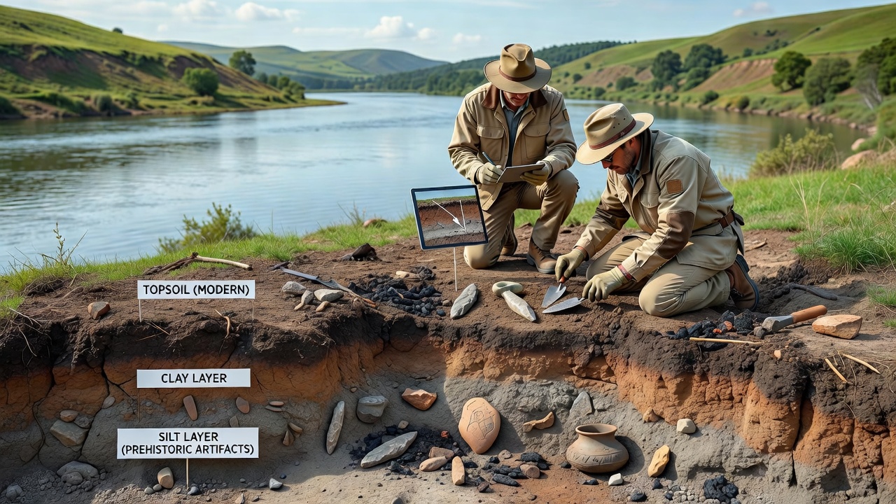
Archaeologists examine river sediment layers in watersheds to locate traces of prehistoric human activity, and these deposits often contain artifacts, pollen, and charcoal that date back thousands of years. Sediment accumulation occurs through natural flooding cycles that bury materials over time, which preserves evidence of settlements that once stood near water sources. Researchers collect core samples from riverbanks and floodplains, then analyze the strata for changes in composition that signal human presence.
Formation of Sediment Records in Watersheds
Rivers transport and deposit materials during seasonal floods, and each layer builds a chronological record that spans centuries or millennia. Fine silts and clays settle during low-energy flows while coarser sands mark high-discharge events, and archaeologists correlate these patterns with known climate shifts. Human occupation leaves distinct markers such as tool fragments, hearths, and altered soil chemistry that stand out against natural deposits. Studies from multiple watersheds show that settlements frequently clustered along stable terraces where flooding occurred less often yet water remained accessible.
Organic remains trapped in these layers provide material for radiocarbon dating, while magnetic susceptibility measurements detect burned areas from ancient fires. Pollen grains preserved in anaerobic sediments reveal the types of vegetation that grew near settlements, and shifts in plant species sometimes indicate land clearance by early inhabitants. Geologists map these sequences across entire river systems to identify locations where multiple layers overlap and increase the chance of finding concentrated evidence.
Analytical Methods Applied to Sediment Cores
Teams extract continuous cores using vibracoring or hand-augering equipment, then split the samples in controlled laboratory settings for detailed examination. Microscopic inspection identifies lithic debitage and ceramic sherds too small for field recovery, while geochemical tests measure phosphorus and potassium levels that rise in areas used for habitation or waste disposal. Optically stimulated luminescence dating establishes when individual grains were last exposed to sunlight, which helps bracket the timing of sediment deposition around cultural features.
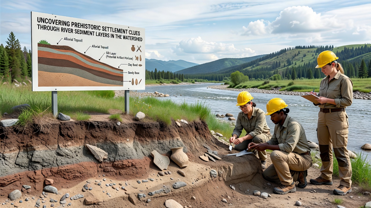
Remote sensing techniques such as ground-penetrating radar first locate buried terraces before coring begins, which reduces unnecessary disturbance to the landscape. Data from these surveys integrate with GIS models that reconstruct past river channels and predict where older settlements might lie beneath modern floodplains. According to reports from the US Geological Survey, sediment budgets calculated for major rivers help calibrate the rates at which cultural layers become buried and protected from erosion.
Recent Fieldwork Conducted in September 2026
In September 2026, field crews returned to several tributary sites within the watershed to extend previous core transects and collect additional samples from newly exposed cutbanks after spring flooding. The work focused on a reach where preliminary tests had detected elevated organic carbon and microscopic charcoal concentrations consistent with repeated burning episodes. Laboratory processing of those cores is still underway, yet initial counts already show increased densities of quartzite flakes at depths corresponding to the Early Holocene.
Collaborators from regional universities contributed portable X-ray fluorescence units that allowed on-site elemental analysis of sediment surfaces, which accelerated decisions about where to place deeper test units. These instruments measure trace elements that mark food processing areas or pigment use without removing large volumes of material. Observers note that the combination of non-destructive scanning and targeted coring has improved recovery rates compared with earlier seasons when sampling relied solely on visual inspection.
Broader Patterns Identified Across Multiple Watersheds
Comparative work in other river systems has revealed that settlement density often peaks during periods of climatic stability when flood regimes remained predictable. Data compiled by the Geological Survey of Canada on similar alluvial sequences in northern watersheds shows parallel increases in artifact frequency during the same mid-Holocene interval. Such cross-regional alignments strengthen interpretations that environmental conditions rather than random chance guided prehistoric site selection.
Researchers also track post-depositional processes that can displace artifacts vertically or horizontally within the sediment column. Bioturbation by roots and burrowing animals mixes materials across layer boundaries, and chemical weathering can dissolve certain bone or shell remains. Accounting for these alterations requires careful examination of sediment micromorphology under thin-section microscopy, which distinguishes primary deposits from those reworked after burial.
Conclusion
Analysis of river sediment layers continues to refine understanding of where and when prehistoric groups established settlements along watershed corridors. The stratigraphic record supplies both temporal control and environmental context that surface surveys alone cannot provide. Ongoing work scheduled through late 2026 will add new core locations and refine existing chronologies, which should clarify migration routes and resource use patterns across the broader region.