Iris Walter · 7 November 2026
Tracing Indigenous Trade Routes Through Hidden Riverbank Artifacts and Oral Histories
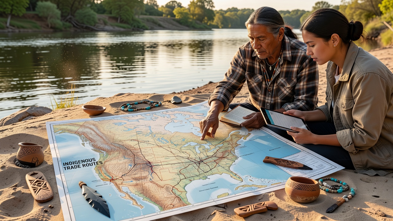
Archaeologists and historians continue to piece together ancient trade networks by examining artifacts recovered from riverbanks and cross-referencing those finds with oral histories passed down through generations. These methods have revealed extensive exchange systems that connected distant communities long before European contact, with river systems serving as primary corridors for goods, ideas, and cultural practices.
Artifact Evidence Along Waterways
Riverbank surveys in multiple regions have uncovered pottery fragments, stone tools, and metal ornaments whose material origins point to sources hundreds of kilometers away. Researchers at sites along major North American rivers documented obsidian points traced to volcanic deposits in the Pacific Northwest, while shell beads from coastal areas appeared in interior settlements. These distributions indicate regular movement of specialized items through established routes rather than random dispersal.
Stratigraphic analysis shows distinct layers corresponding to different periods of activity, with some deposits dating back several thousand years. In November 2026, a collaborative project involving university teams and local tribal representatives released new dating results that refined timelines for peak trade periods along one major watershed. The data aligned with shifts in climate patterns that would have affected water levels and navigability.
Integration With Oral Histories
Community elders have shared accounts that describe specific locations where traders gathered, the types of goods exchanged, and the protocols governing those interactions. When archaeologists compared these narratives to artifact clusters, matches emerged at several riverbank locations previously considered unremarkable. One account detailed seasonal meetings near a confluence where copper items from the Great Lakes region changed hands for dried fish and hides from downstream groups.
Ethnohistorians note that oral traditions often preserve details about route hazards, such as rapids or seasonal flooding, that explain why certain stretches show denser artifact concentrations. These stories also record the social roles of traders, including hereditary rights to particular paths and the ceremonies that accompanied exchanges. Cross-verification with linguistic evidence has strengthened the case that trade networks facilitated the spread of language families across wide territories.
Geographic Patterns and Regional Studies
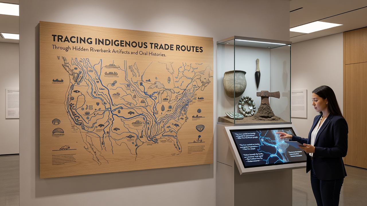
Similar approaches have yielded results in other parts of the world. In Australia, researchers working with Aboriginal communities along the Murray-Darling basin identified trade in stone axes and ochre pigments that followed river corridors documented in songlines. Canadian studies along the Fraser River have mapped networks linking coastal and interior First Nations through cached trade goods and oral maps of portage routes. Parks Canada maintains records that support ongoing documentation of these connections at protected heritage sites.
Data from multiple watersheds shows that trade routes often followed predictable seasonal cycles tied to fish runs, plant harvests, and weather windows. Artifacts recovered from high-water deposition zones indicate that traders adapted to changing river conditions by shifting landing spots over time. This adaptability appears in both material evidence and the adaptive strategies described in oral accounts.
Methodological Advances
Modern techniques such as portable X-ray fluorescence and isotopic analysis allow precise sourcing of artifacts without destructive sampling. When these results are layered with geospatial modeling of river travel times, researchers can reconstruct likely daily travel segments and rest points. Oral histories supply the human context, including which groups held authority over particular segments and how disputes were resolved at meeting places.
Collaborative projects now routinely include community review of findings before publication. This process has corrected earlier assumptions about route directions and highlighted previously overlooked secondary paths used for specific commodities. In one case, elders identified a tributary as a winter route that avoided main-channel ice, a detail that explained artifact patterns missed by earlier surveys focused only on summer navigation.
Conclusion
Combining riverbank artifacts with oral histories produces a more complete picture of indigenous trade systems than either source provides alone. Continued fieldwork planned through 2027 and beyond will test these integrated models against additional sites while respecting community protocols for knowledge sharing. The resulting maps illuminate long-standing connections that shaped cultural landscapes across continents.