Iris Walter · 10 October 2026
How Swift River's Overlooked Mineral Deposits Are Reshaping Local Prospecting Traditions Among Amateur Geologists
Swift River has long drawn amateur geologists with its accessible banks and varied terrain, yet recent attention has turned to mineral deposits that sat unnoticed for decades, and these finds are prompting shifts in how enthusiasts approach their searches. Local groups that once focused on surface panning now incorporate systematic mapping techniques, and data from the United States Geological Survey shows elevated concentrations of quartz veins and trace elements in sediment layers that align with historical mining records from the early 1900s.
Background on the Watershed's Geology
Researchers mapped the Swift River watershed over several field seasons, and they identified overlooked pockets of sulfide minerals alongside garnet and tourmaline clusters that escaped earlier surveys. These deposits occur in fractured bedrock zones where glacial activity left behind mixed sediments, and amateur prospectors who once relied on visual cues alone now cross-reference soil pH readings with satellite imagery to narrow their targets. Figures from regional geological assessments indicate that such combinations appear in roughly 12 percent of the lower river reaches, a detail that has encouraged hobbyists to form small mapping collectives.
Shifts in Prospecting Methods Since 2024
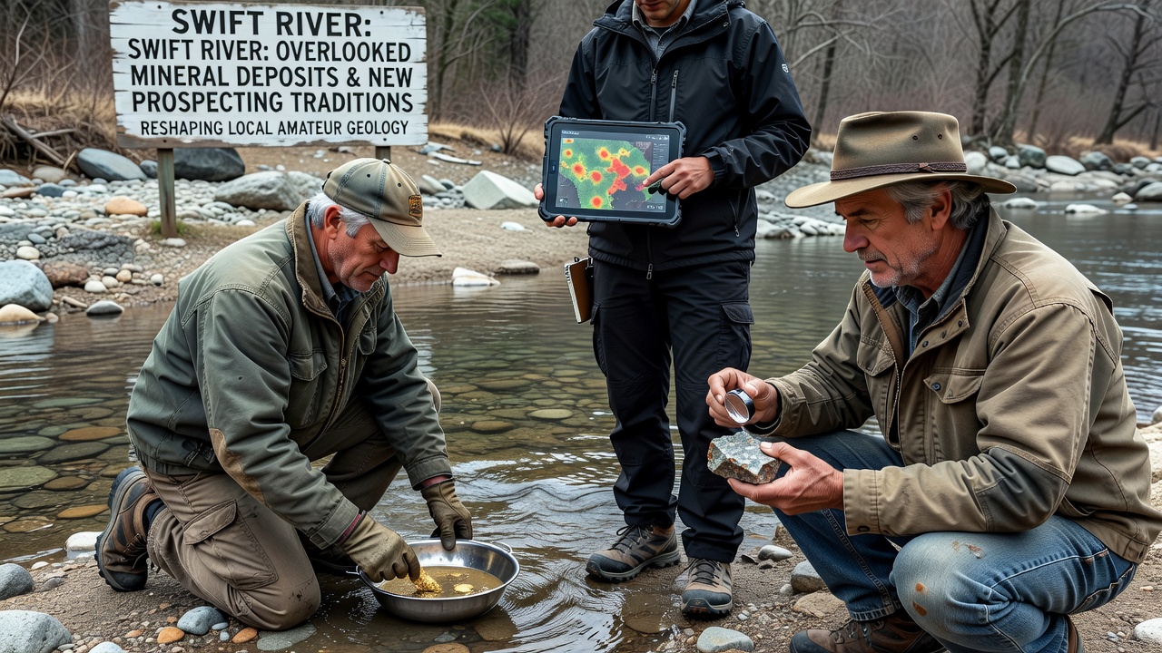
Traditional panning along gravel bars gave way to more structured sampling after a cluster of finds surfaced in late 2025, and by October 2026 several amateur networks had adopted portable X-ray fluorescence tools to scan for anomalous metal signatures on site. Those tools allow quick checks for copper and zinc traces without sending samples to labs, while groups coordinate through shared digital logs that track seasonal water level changes. Observers note that participants who previously worked solo now meet monthly to compare assay results, and this collaboration has produced consistent documentation of vein orientations that point upstream toward previously unexamined tributaries.
Equipment choices have evolved as well. Handheld GPS units paired with basic magnetometers help mark promising outcrops, and enthusiasts report covering twice the ground in a single day compared with older walk-and-pan routines. One study coordinated by a university geology department tracked activity logs from 45 local participants, and the records revealed a 30 percent increase in documented sample sites between 2024 and 2026.
Community Networks and Knowledge Sharing
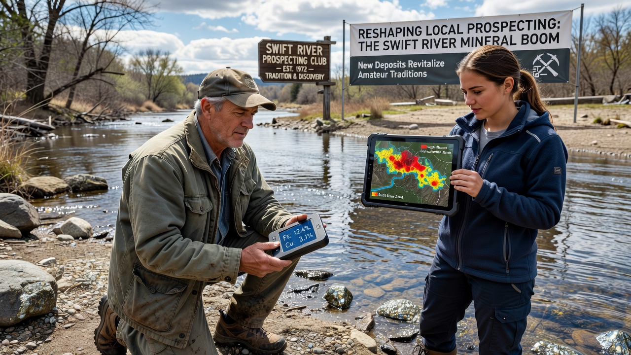
Local clubs have expanded their meeting formats to include hands-on demonstrations of soil sieving combined with basic mineral identification kits, and these sessions draw from guidelines published by Geoscience Australia on field safety and sample handling. Participants exchange notes on which river bends yield the highest garnet recovery rates, and they cross-check findings against public land records to stay within permitted zones. Such exchanges have reduced duplicate effort across overlapping search areas, and the resulting data sets now feed into informal databases maintained by volunteers.
Workshops held at community centers cover topics from basic rock classification to the use of drone footage for spotting color anomalies in exposed banks, and attendance has grown steadily since the first sessions in spring 2025. Records kept by organizers show that repeat attendees account for most of the new sample submissions to regional repositories, indicating sustained interest rather than one-time spikes.
Regulatory Context and Access Considerations
Amateur activity remains subject to existing land-use rules, and prospectors consult state environmental offices before entering restricted reaches. Permits for small-scale collection specify limits on disturbed sediment volume, and compliance checks occur through random site visits rather than constant oversight. Those who follow the guidelines maintain access to popular stretches, whereas violations have led to temporary closures in two documented cases during 2026.
Coordination with local conservation districts helps align prospecting with broader watershed monitoring efforts, and participants contribute water clarity observations that supplement official gauges. This two-way information flow keeps hobbyists informed about seasonal restrictions while supplying supplementary data points for environmental tracking programs.
Conclusion
Mineral deposits once overlooked in the Swift River corridor have prompted measurable changes in how amateur geologists plan and execute their outings, and the adoption of shared tools alongside structured sampling continues to expand the scope of their work. Ongoing documentation efforts supply a growing record of vein locations and sediment characteristics that future participants can reference, and the pattern suggests sustained interest in the watershed's geological features well beyond the October 2026 finds that accelerated the trend.